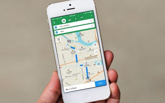
The best alternatives to Google Maps: When talking about apps that are used to locate the address of a specific place or to measure the distance on a journey from one point to another on a map, the first option that comes to mind is to open Google Maps, but it’s not the only one.
The best alternatives to Google Maps
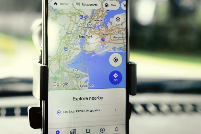
Although this app has a fairly simple, complete interface with detailed information, its great popularity may be due to the fact that it comes pre-installed on thousands of Android devices (although it can also be accessed from your computer). However, is this the best map and location navigation app? Below, we show you apps arranged alphabetically in case you want to try other options.
- Bing Maps
- citymapper
- Here WeGo
- Maps.me
- Navmii
- OsmAnd
- Petal Maps
- Sygic
- TomTom Go Navigation
- Waze
1. Bing Maps
This is the map website created in 2005 by Microsoft for its web search engine, Bing. Windows 10 comes preinstalled under the name Windows Maps, which is the image provider for the maps within the Microsoft Flight Simulator video game.
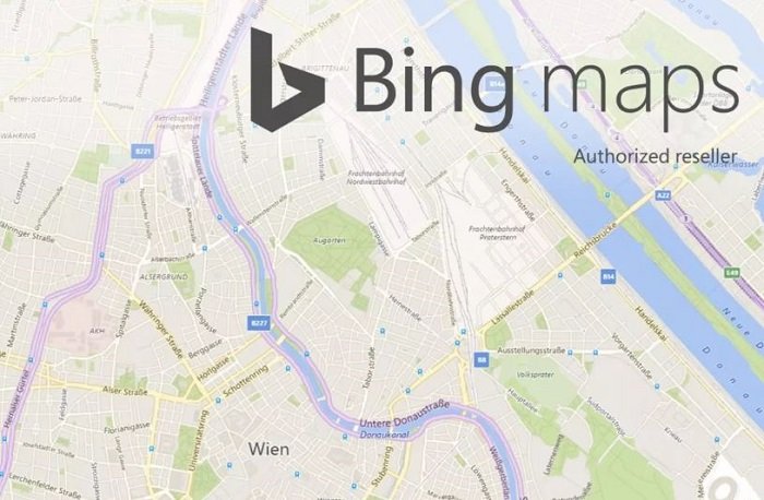
It has a very simple interface, and users can see topographic street maps of many cities around the world. The maps include points of interest, such as different public transport stations, hospitals, restaurants, etc. It is also possible to add your own places of interest and share them or browse those created by other users.
Like Google Maps, its main competitor, it shows the available routes depending on the means of transport you want to use, and it has a satellite view, 360° street view, traffic indicators, 3D maps or integrated route calculation and place suggestions of interest close to the route, among other options.
2. Citymapper
This application, available for both iOS and Android, aims to facilitate the mobility of people on public transport in any city. Thanks to its ability to provide real-time information, you can choose the route that best suits you: by bus, train, subway, bicycle, walking, and even on a scooter. You can also access the app when you don’t have internet or coverage.
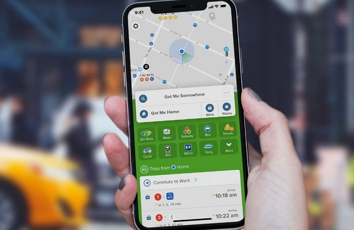
You can choose between 3 different views of the map. It also compares taxi rates and shows you the estimated arrival time of the different vehicles so you can manage your time and never miss the bus again. Among its partners are some of the best travel apps, such as Uber. As adults, you can share your route with your friends so they know when you will arrive.
3. Here WeGo
Considered one of the best alternatives to Google Maps, Here WeGo is a complete app that allows you to download maps and view them offline. It shows detailed routes and step-by-step guides so you know where to turn, how far you have left, what shortcut to take, etc. It also has voice indication and is available in many countries around the world.
In addition, this app is compatible with Android Auto, which allows you to connect to the car screen with this system and guide your drivers from it with complete comfort.
The app is one of the free features of the Here platform, which also offers many additional services, such as the ability to access precise routing capabilities based on enterprise-grade maps and location data, personalize journeys to suit specific personal preferences or business requirements, use their technology to create your own cloud-based solutions, achieve a seamless travel experience by connecting all modes of transportation, create your own maps, among many other possibilities.
4. Maps.me
This application offers an interface that is very similar to Google Maps. Among its functionalities, it allows you to download maps and consult them offline, provides real-time traffic data, shows public transport routes, searches for all types of establishments in any city (hotels and other accommodation sites, shops, transport, hospitals, banks, restaurants, businesses, schools, etc.), and has some routes previously created especially for those who love hiking or excursions.
It offers 70 million locations in different countries, has 60 million users, and has already received over 140 million downloads of the application, which is available for iOS and Android.
5. Navmii
Another great alternative to Google Maps is Navmii, an application with many elements that can be explored in your daily life. With this app, you can consult information about routes and maps of more than 197 countries; you can even download them to consult them without an Internet connection. In addition, the app gives you options to control your speed while driving and can detect radars and avoid possible fines.
Likewise, it has traffic alerts, road closures, controls, etc., and redirection. In addition, it allows you to share your location in real-time and indicates your driving score. It can even detect if you have driven at risk by using your cell phone while behind the wheel, exceeded the speed limit during the last trip, or aggressively overtook another driver on the road. All this data is reflected in your “driver score,” a section dedicated to generating a report that reflects your driving so that you can be aware of your behavior as a driver.
6. OsmAnd
OsmAnd (which stands for Open Street Map Automated Navigation Directions) is a free, open-source application for Android, and now also available for iOS, which uses the OpenStreetMap (OSM) mapping database for the main maps and is updated monthly.
It is a very practical option if you are looking for an app with which you can download all the data and use it without having to connect to the Internet. The maps can be stored on the device’s memory card for offline use. With this app, you can find any location on the map indicating the type of establishment (shops, gas stations, restaurants, etc.) or simply the coordinates.
It also allows you to search for and set routes, set waypoints or stops, see street names, receive voice directions, and make automatic route changes if you get off track. The maps include walking, hiking, and cycling routes; public transport stops (subway, bus, tram,…) with their names, travel speed, and altitude; optional automated day/night view; optional speed limit warning, with notification if it is exceeded, location sharing, among many other options.
7. Petal Maps
Petal Maps is an alternative to Google Maps, which Huawei developed after the tech giant’s blockade. However, it can also be downloaded from the Play Store in addition to the Huawei AppGallery.
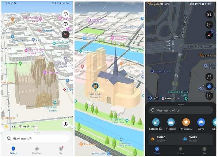
Like others on the list, this app allows you to download maps and use them without being connected to the internet. Thanks to its aerial vision and 3D view options, interacting with the environment is more fluid and natural. It allows route planning in real-time, considering traffic updates and notices from the millions of users, “co-creators of Petal Maps.”
Likewise, the application also offers detailed information about the operation and routes of public transport and the possibility of highlighting places or establishments by marking them as favorites.
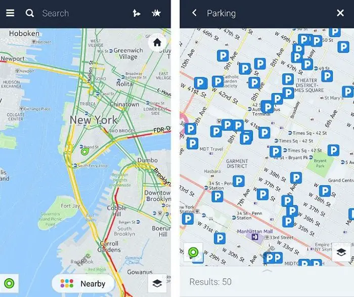
8. Sygic
This application allows you to navigate different maps even without an internet connection. It includes high-quality 3D maps and regular maps, and updates are free.
Sygic provides detailed information in real time about traffic status so you can avoid traffic jams, find the best parking spaces, check fuel prices at service stations, and know the location of speed cameras. It is available for Android Auto and Car Play.
You can also project the navigation on your car’s windshield using your phone’s camera so you can see the directions at eye level.
9. TomTom Go Navigation
This is a GPS navigation app with which you can check your routes using downloadable and offline maps. It also provides accurate traffic information and speed camera alerts, the latter two updated in real-time.
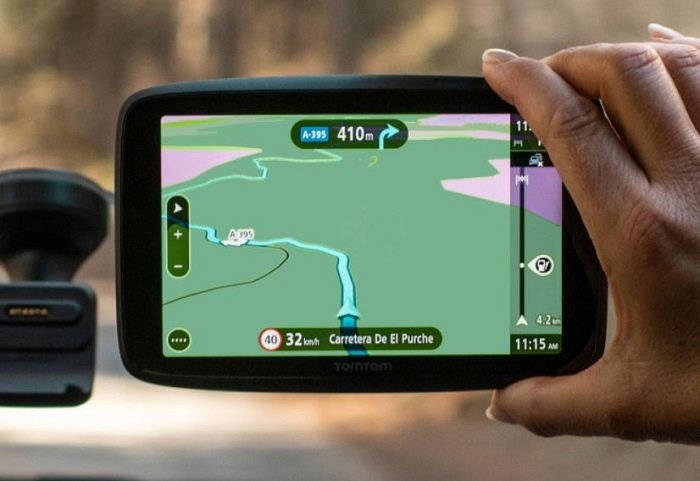
With TomTom Go Navigation, you can, among other things:
- Know which lanes are moving to reduce distractions and be able to pay more attention to the road and not decipher the screen.
- Search for popular destinations, the most popular attractions, alternate routes, and essential points of interest in a particular location.
- Avoid traffic and receive notices of traffic jams, incidents, newly closed lanes, roads under construction, and other delays.
- View 3D maps.
- Locate nearby parking lots, gas stations, restaurants, and much more.
You can also enter the measurements and dimensions of your vehicle to obtain personalized indications that take this data into account.
It is paid but offers a free trial for 7 days. It is available for iOS, Android, and Huawei AppGallery and is compatible with Android Auto and Apple CarPlay.
10. Waze
Waze is another mapping application owned by Google, which it acquired in 2013. For this reason, many of its functions have been added to the Google Maps interface. However, Waze has an interface where users can receive directions and a map with real-time traffic information and road alerts. Additionally, it is compatible with Android Auto.
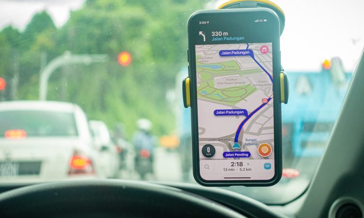
One of its main features is its communities. Waze members can contribute to the application and thus help other users with their directions and updates. You can go from simply reporting on closed roads or deviations to becoming a map editor, beta tester, or translator.
Waze is usually the main application for many countries, like Costa Rica, where the Google Maps service could be better in other locations.
Read Also: